Dedicated to helping clients unlock the full potential of their land and property.
Why us
The ultimate foundation for accurate surveying solutions.
At DHM Survey Consultant, we provide the ultimate foundation for accurate surveying solutions, ensuring precision and reliability in every project.
Our expertise in land, property, and construction surveying helps clients make informed decisions with confidence. From initial assessments to detailed reports, we deliver results tailored to your specific needs.
Unmatched Accuracy and Precision
We utilize advanced surveying technology and proven methodologies to deliver highly accurate and reliable results for every project.
Expert Team with Proven Experience
Our team consists of highly skilled professionals with extensive experience in land, property, and construction surveying, ensuring top-notch service.
Tailored Solutions for Every Project
We understand that every client’s needs are unique. That’s why we offer customized surveying solutions designed to meet your specific requirements and objectives.
Commitment to Timely Delivery
We value your time and ensure that all projects are completed on schedule without compromising on quality or accuracy.
Comprehensive Support and Consultation
From project initiation to final delivery, we provide full support, clear communication, and expert consultation to help you make informed decisions every step of the way.
Topograhic Survey
Topography survey is done for any clients who require in depth analysis on terrain characteristics. This type of survey is required before any civil and structure design.
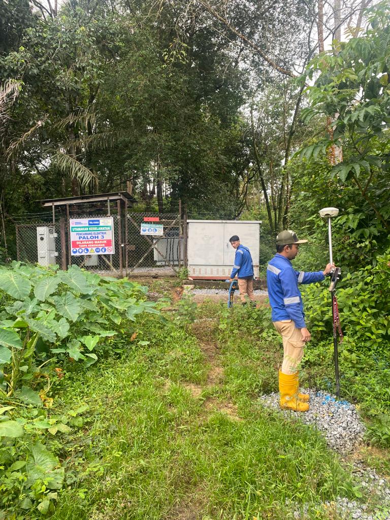
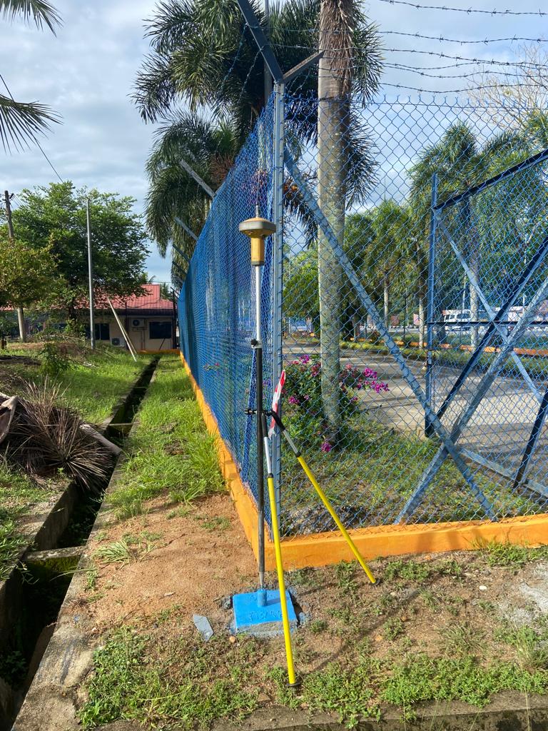
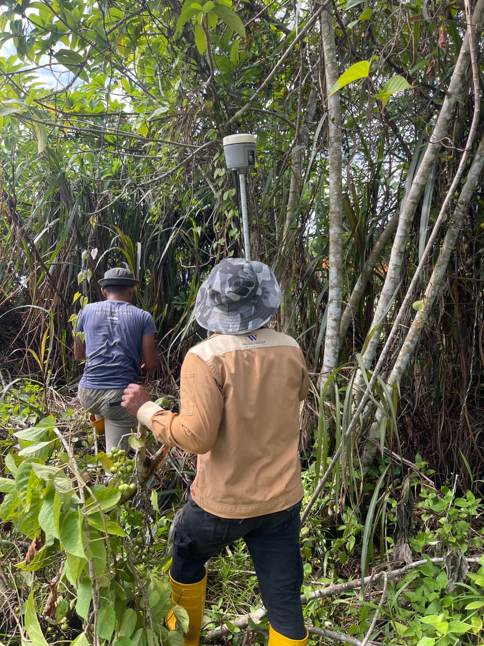
GPS has transformed surveying with its accuracy, efficiency, and minimal manpower needs. Using satellite data, we utilize GPS for control point establishment and topographical surveys, delivering precise and cost-effective solutions.
Cadastral surveys are essential for licensed surveyors, authorized by law for land subdivision, partition, and amalgamation in Peninsular Malaysia. Our skilled team and advanced equipment ensure exceptional results for these tasks.
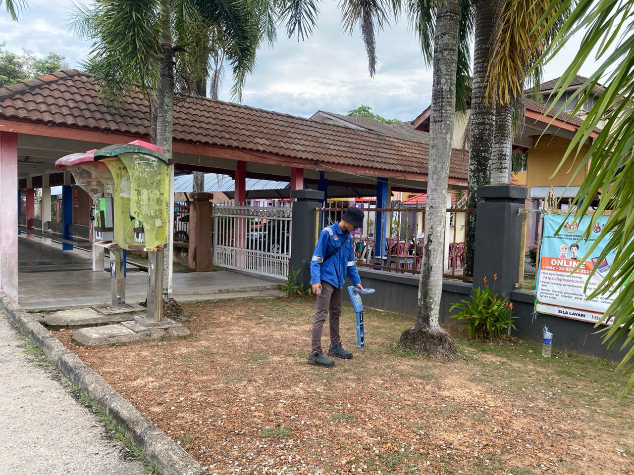
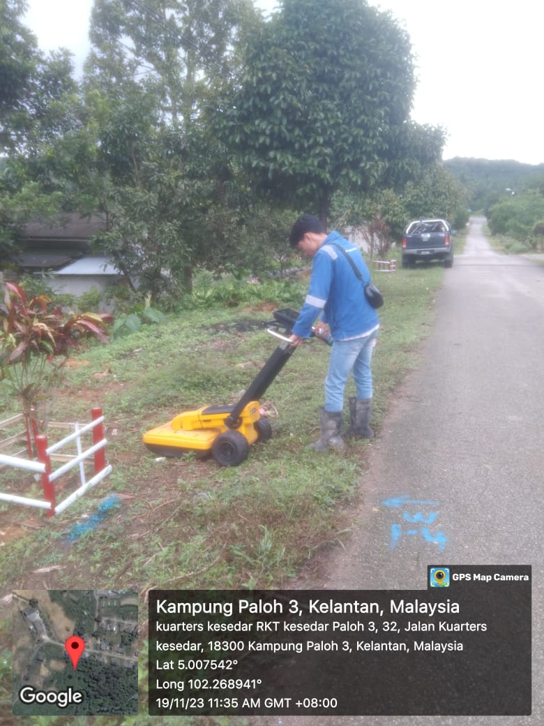
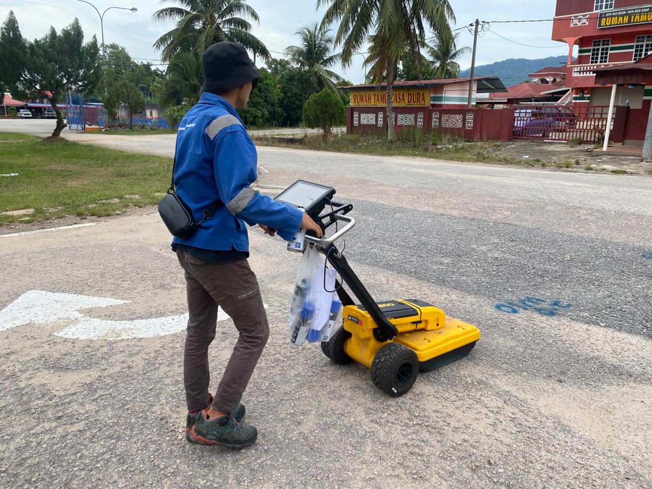
Utility mapping is now essential to prevent losses from damaged underground utilities during excavations. Equipped with EML and GPR, our company provides accurate and comprehensive underground utility mapping services.
Bathymetry surveys map riverbeds or seabeds using echo sounders to measure depth via sound waves. Collected depth data is combined to create detailed cross-section or swath maps for analysis.
This survey is vital for civil construction, providing cut-and-fill data for roads, earthworks, and drainage. Using total stations or GPS, we compute volume differences and generate detailed reports for clients.
Civil engineering surveys include essential tasks like setting Reference Marks, Setting Out, Levelling, Horizontal and Vertical Control, and As-Built Surveys, supporting accurate execution in all civil construction projects.
The engineering survey is done to provide topographical data to road design consultant for the purpose of designing a 6 km road as part of road upgrade programme starting from Cherang Ruku Police Station to Kampung Tok Saboh
Scope Of Work
Planimetric Control and Connection Survey
Height Control
Topographical Survey
Underground Utility Detection
02
Topography Survey
This type of plan provides information on manmade and natural features along the road alignment. Contours and spot heights value are shown on the plan for the engineers to better understand the terrain in road design stage.
03
Underground Utility Detection an Mapping
Underground utility mapping is essential in road construction in order to avoid utility damages during ground excavation. Therefore, JKR has taken pro active measure by appointing utility surveyors to map all utilities either above or underground along the road alignment.
02
Land Acquisition Survey
This plan provides information on land lots that are proposed for acquisition by the engineers based on final road design and alignment. This plan then will be used for submission to Pejabat Tanah dan Galian for further land acquisition process.
Equipment
State-of-the-art equipment delivering precision and unparalleled accuracy.